Browse categories
Explore
Fiverr Pro
English
$
USD


Hi, I'm Ejike
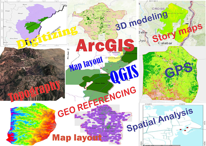
I'm a GIS and Remote Sensing specialist with strong expertise in geospatial mapping, analysis, and visualization. I help students, researchers, and professionals turn raw spatial data into clear, accurate, and professional results.
I work with industry-standard tools such as ArcGIS, QGIS, Google Earth, AutoCAD, and SURFER to deliver top quality outputs.
Services I Offer:
Deliverables:
Why Work With Me:
GIS Analyst, QGIS, ArcGIS, Mapping and Spatial Analysis
Languages
I don’t have GIS data. Can you help me collect it?
Yes. I can source open data (satellite imagery, DEM, shapefiles, etc.) and process it for your project. For custom or paid datasets, I’ll guide you on how to obtain them.
What information do you need from me before starting the project?
I usually need your project details, data files (if available), study area boundary, and a short description of the type of map or analysis you want. If you’re not sure, I can guide you step by step
What formats will you deliver my maps or data in?
I can deliver in multiple formats such as PDF, JPEG/PNG, Shapefile (.shp), Geodatabase (.gdb), KML/KMZ (Google Earth), AutoCAD (.dxf/.dwg), or Excel/CSV depending on your needs
Do you provide editable files?
Yes. Along with the final maps (images or PDFs), I can also provide editable GIS files so you can update them in the future if required
Can you handle urgent projects?
Yes, I can deliver urgent projects within 24–48 hours depending on the complexity. Please contact me before placing an urgent order.
Do you provide support after delivery?
Yes. I provide limited after-delivery support to make sure everything works well and you are satisfied with the output.
I am a student/researcher. Can you help with academic projects?
Absolutely! I have experience working with students and researchers. I can prepare maps, analysis, and reports in a format that fits academic requirements.
What do I need to provide before you start my project?
You’ll need to provide your project requirements, location data (if available), file formats you prefer (e.g., shapefile, KML, AutoCAD), and any specific instructions or examples
What if I’m not satisfied with the work?
Your satisfaction is guaranteed. I offer revisions and will make necessary changes until you are fully satisfied.