I will gis tasks, analysis, web mapping, location apps, 3d maps

E
ellatatum
E
ellatatum
Ella T

About this gig

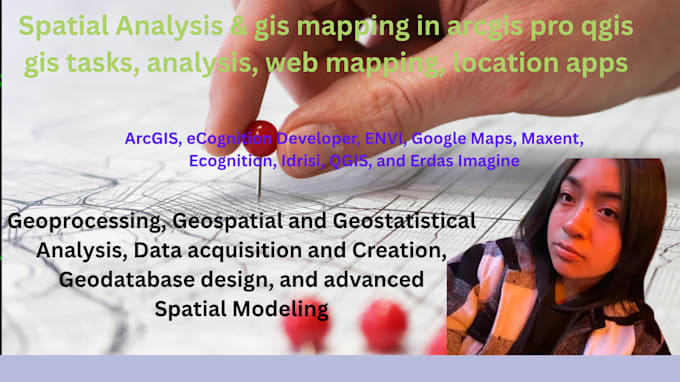
Are you looking for a skilled GIS expert to handle your geospatial data, analysis, and mapping needs? I provide professional GIS services tailored to your project using tools like ArcGIS, QGIS, Leaflet, Mapbox, Google Earth, and Python/JS-based mapping.

What I Offer:

  • Spatial data analysis and geoprocessing
  • Web mapping & interactive maps (Leaflet, Mapbox, ArcGIS Online)
  • 3D terrain models and elevation maps
  • Thematic maps, heatmaps, and custom map styling
  • Location intelligence and site selection
  • Geodatabase design and management
  • GeoJSON, KML, Shapefile, and raster data support

Use Cases:

Urban planning, real estate, environment, disaster mapping, agriculture, logistics, and more.


I guarantee accurate analysis, clean map layouts, and fast delivery. Lets bring your spatial data to life!

Get to know Ella T

Ella T

Geopulse

  • FromPoland
  • Member sinceMar 2025
  • Languages

    English
I have more than 5 years industrial and research experience in the field of Geographical Information System (GIS) and Remote Sensing (RS). I have experienced the Geospatial Data Acquisition and Creation, Cartographic Presentations/Maps, Anlaysis in model builder, Geodatabase Design and Management, Land Use & Zoning Maps, Routing/ Network Analysis, Spatial Analysis & Modeling, Statistical Analysis, Geoprocessing, Image Processing and etc. Feel free to contact me prior to place an order to discuss specific details about project and data.