Browse categories
Explore
Fiverr Pro
English
$
USD

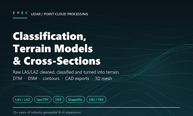

I process raw LiDAR point cloud data into clean, classified, professional-grade outputs - from noise removal and ground classification through to terrain models, contours, CAD-ready exports, and cross-sections along a defined alignment. Data can come from drone-mounted LiDAR, terrestrial scanners, or mobile mapping systems.
REQUIREMENTS: please provide the raw point cloud (LAS/LAZ) plus a corresponding orthomosaic or aerial image of the same area. This is used for visual QA/QC of the classification and is required for every package.
Please contact me before ordering so I can confirm area size, point density and file size against the package limits, and make sure the deliverables match what you need.
ACCURACY NOTE: terrain models and volumes are derived from the supplied point cloud; absolute accuracy depends on the control used during capture.
NOT INCLUDED: LiDAR data capture, imagery purchase, hosting, third-party licences.
AI Powered Geospatial, Web GIS, and Infrastructure Engineering Solutions
Languages
What do you need from me to get started?
The raw point cloud (LAS/LAZ) and a matching orthomosaic or aerial image of the same area. The imagery is used for visual QA/QC of the classification and is required for every package. Also tell me the area size, point density and file size.
Why do you need imagery as well as the point cloud?
Classification is a judgement call at boundaries: where ground becomes vegetation, or where a structure begins. Checking the classified cloud against imagery of the same site is how those errors get caught before delivery rather than after.
My dataset is larger than the package limits. What then?
Message me before ordering with the area size and file size. The add-on covers moderate overruns at $25 per extra 50 hectares or 2 GB; larger jobs get a custom offer. Point density matters as much as area, which is why I ask first.
How accurate are the terrain models?
The DTM, DSM and any derived volumes come from the point cloud you supply, so absolute accuracy depends on the control used during capture. I report the classification approach and flag areas where ground returns were sparse, so you know where to trust it.
What formats do I get, and will they open in CAD?
Classified cloud as LAS/LAZ, terrain models as GeoTIFF, contours and vectors as shapefile, CAD-ready DXF from Standard up, and a mesh as OBJ/FBX/STL on Premium. All of it opens in QGIS, ArcGIS, AutoCAD and Civil 3D.
