Browse categories
Explore
Fiverr Pro
English
$
USD


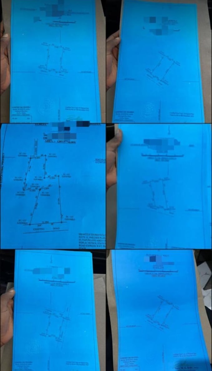
Do you need a reliable expert to turn your land survey data into a clean, accurate and professional drawing?
I specialize in creating high-quality land survey drawing and subdivision layouts that are suitable for planning, presentation and construction purposes
MY SERVICE
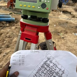
I use digital drawing tools such as AutoCAD, GIS software and other tools.
WHY CHOOSE ME
WHAT YOU WILL GET
BEFORE PLACING ORDER
-Please contact me first let discuss your project requirements and ensure the best result
-and also to confirm pricing and duration of project
Lets bring your land survey project to life with precision, accuracy, professionalism.
PLACE YOUR ORDER NOW! LET GET STARTED!!!
Please inform the freelancer of any preferences or concerns regarding the use of AI tools in the completion and/or delivery of your order.
Professional Land Surveyor
Languages