Browse categories
Explore
Fiverr Pro
English
$
USD
Need a professional Civil 3D site grading plan, proposed surface, or cut/fill earthwork calculation for your land development or construction project?
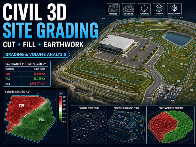
I provide AutoCAD Civil 3D site grading, surface modeling, and earthwork analysis using your existing topographic survey and project requirements. I can develop proposed elevations, contours, drainage swales, building pads, and calculate cut/fill quantities to help you understand and optimize site earthwork.
WHAT I CAN DELIVER
PROJECT
WHY WORK WITH ME?
I work from your topographic survey, site layout, design criteria, and grading requirements.
Please contact me before ordering so I can review your site area, survey data, project scope, and required

Project scale:
Building
Building type:
Residential
•
Commercial
•
Industrial
Material speciality:
Concrete
•
Steel
Please inform the freelancer of any preferences or concerns regarding the use of AI tools in the completion and/or delivery of your order.
What do you need to start a grading project?
I typically need an existing topographic survey in DWG, Civil 3D, LandXML, CSV/point data, or a clear vector PDF, plus the proposed site layout and project grading requirements.
Can you create a proposed Civil 3D surface?
Yes. I can create and develop existing and proposed TIN surfaces, contours, spot elevations, grading features, and surface comparisons in Civil 3D.
Can you calculate cut and fill quantities?
Yes. I can compare existing and proposed surfaces and provide cut/fill volume calculations and an earthwork summary report.
Can you create a cut/fill heat map?
Yes. A graphical cut/fill map can be included to show areas of excavation and fill across the site.
Can you work from an existing Civil 3D file?
Yes. I can work with an existing Civil 3D drawing or surface when the file is properly prepared and contains the necessary project information.
