Browse categories
English
$
USD
Connect to your AI

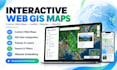
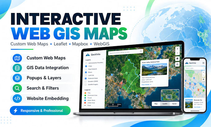
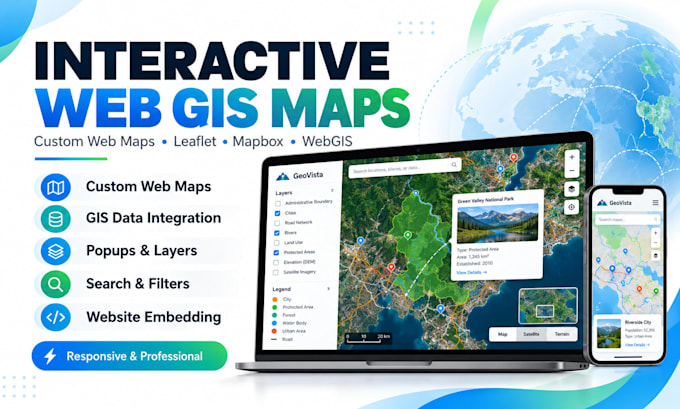
Need a map that does more than display locations? Want visitors to explore your GIS data, find places, and understand what matters?
I build responsive interactive web maps using Leaflet, Mapbox, JavaScript, and GIS data. Ideal for businesses, researchers, planners, NGOs, and websites.
MY SERVICES
WHAT YOU WILL RECEIVE
WHY CHOOSE ME?
Whether you need a simple location map or a custom WebGIS interface, I can match the scope to your needs.
Turn your geographic data into a map people can actually use. MESSAGE ME your project details today for your package or custom offer!
GIS EXPERT
Languages
What do you need to start my interactive web map?
I need your project goals, area of interest, available GIS data, preferred features, and any design or website references. If you are unsure about the technical requirements, message me first.
Which GIS data formats do you accept?
I work with common formats such as GeoJSON, Shapefiles, KML, KMZ, CSV, and QGIS layers. I can prepare or convert suitable data for web mapping, depending on the package and dataset complexity.
Can you create an interactive web map without GIS data?
Yes, I can help identify suitable public datasets or discuss creating basic map features. Additional data collection, digitizing, or extensive cleaning may require a custom quote.
Will my interactive map work on mobile devices?
Yes. I design responsive maps for desktops, tablets, and mobile devices. Complex dashboards may require additional mobile layout work.
Can you integrate the map into my existing website?
Yes. I can provide embeddable map files or assist with integration into an existing website. Please share your website platform and requirements so I can confirm compatibility and pricing.
Do you use Leaflet, Mapbox, or Google Maps?
I primarily offer Leaflet and Mapbox-based solutions. Other mapping APIs can be discussed. Paid platform usage, licenses, or API subscriptions are not included in my gig prices.
Will I receive the source code of my web map?
Yes. I include the agreed HTML, CSS, JavaScript, and prepared map data files needed for the delivered project, subject to any third-party licenses.
Can you host or deploy my interactive web map?
Yes. Deployment support is available in the Premium package or as an extra. Hosting fees, domains, and third-party subscriptions remain the client's responsibility.
What is included in a revision?
Revisions cover corrections and reasonable adjustments within the original agreed scope. New pages, layers, databases, or major features may require an additional order.
Can you build an advanced WebGIS dashboard or custom application?
Yes, I can discuss advanced search, filtering, layer controls, and customized map interfaces. Projects needing authentication, live databases, complex APIs, or a full backend require a separate assessment and quote.