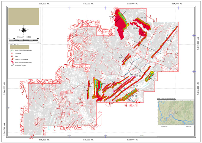
Professional GIS Mapping & Data Digitization Services
Need to transform your raw data, hand-drawn sketches, or PDF maps into professional digital formats? You are in the right place!
What I offer:
- High-Quality Digitization: Converting any image/PDF into accurate Shapefiles (SHP), KML, or GeoJSON.
- Spatial Analysis: Helping you understand your data through professional mapping.
- Accuracy Guaranteed: 100% topology correction to ensure no overlaps or gaps in your data.
- Georeferencing: Aligning your old maps with real-world coordinates.
Why choose me?
- Expert in ArcGIS and QGIS.
- Fast response and reliable delivery.
- Unlimited revisions until you are 100% satisfied.
Please contact me before placing an order to discuss your specific project needs!