Browse categories
Explore
Fiverr Pro
English
$
USD


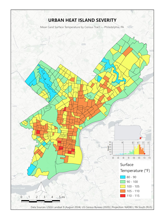
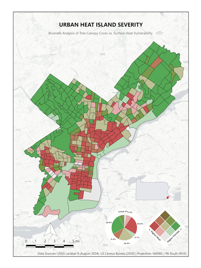
A poorly designed map can distract stakeholders. Whether for a grant proposal, research paper, or environmental report, you need clean, publication-grade cartography.
Using QGIS, I transform your spatial datasetsor source open government and Census data for youinto visually striking, accurate maps with balanced layouts and precise symbology.
What I Can Create:
What You Will Receive:
Please message me before placing an order to confirm your project scope and data needs!
GIS Analyst: QGIS, Python, Spatial Data Analysis
Languages
What does the "Presentation Slides" checkbox mean?
It means your final maps will be exported at a 16:9 aspect ratio in high resolution (300 DPI), perfectly sized for you to drop directly into PowerPoint or Google Slides without awkward cropping. I provide the map graphics, not the full presentation design.
Do you provide the QGIS source files?
Yes! The packaged QGIS source files (.qgz) are automatically included in the Premium package. If you are purchasing the Basic or Standard package, you can add source files as a Gig Extra at checkout.
Can you match my specific brand colors or journal guidelines?
Absolutely. Just provide your brand hex codes, a style guide, or the specific formatting requirements of your target publication, and I will tailor the map's typography and color ramps to match perfectly.
What do I need to provide to get started?
If you have spatial data (Shapefiles, GeoJSON, CSVs), attach it! If not, just describe your target area and the metrics you need. I can source standard, publicly available datasets (like US Census demographics or open municipal data) for your project.