Browse categories
Explore
Fiverr Pro
English
$
USD


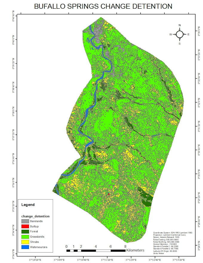
Are you looking for detailed and accurate land use and land cover (LULC) analysis? I specialize in mapping and detecting changes over time using cutting-edge platforms such as ArcMap, ArcGIS Pro, Python, Google Earth Engine (GEE), and machine learning techniques. My services include identifying different land cover classes (e.g., vegetation, urban areas, water bodies, agricultural land) and analyzing temporal changes using satellite imagery like Landsat, Sentinel, and high-resolution commercial datasets. With expertise in supervised and unsupervised classification, Random Forest, and other machine learning algorithms, I provide reliable results tailored to your specific study area or project requirements.
Whether you need LULC maps, trend analysis, or impact assessments for urban planning, agriculture, or environmental conservation, Ive got you covered. I ensure high-quality outputs by preprocessing data, classifying images, and validating results with statistical accuracy assessments. Additionally, I can generate insightful reports, time-series visualizations, and GIS-ready layers to support your decision-making processes. Lets collaborate to turn your spatial data into actionable
biomass estimation forest canopy height carbon estimation soil organic
Languages
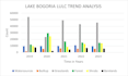
Can you analyse the trends in land use land cover and change detenction?
yes ofcourse, i have been doing this for a long time now you with te right expert