I will create vegetation maps from satellite or drone images

Argentina

I speak English, Spanish

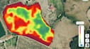
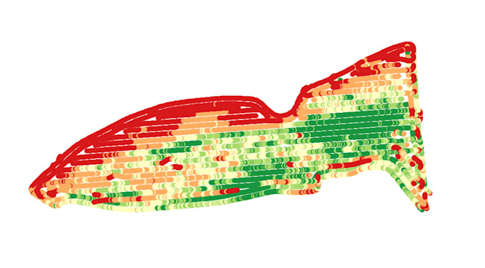
Agronomist Master's Degree in Precision Agriculture

Agricultural Engineer | MSc Precision Agriculture | Computer Vision & Remote Sensing I train YOLO object detection models and analyze satellite/drone imagery for agriculture, environmental monitoring...
About this Gig

Need vegetation maps or crop health analysis from satellite or drone imagery? I will analyze your remote sensing data and deliver clear, actionable results.

Related tags