Why work with me?
- I turn complex geospatial data into clear, actionable insights.
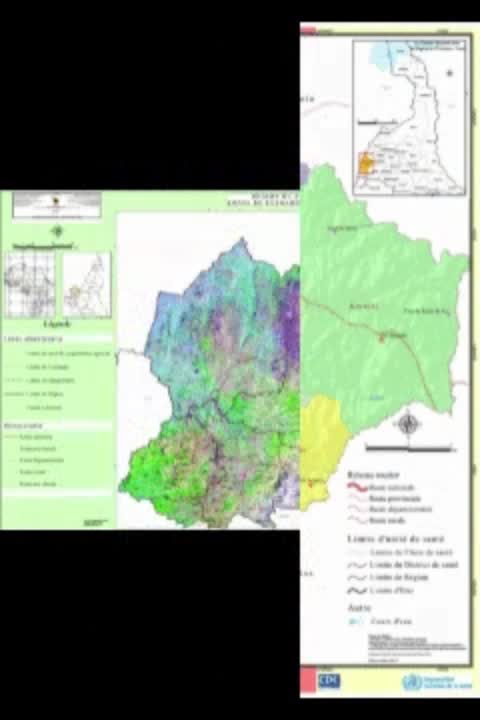
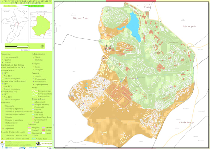
- ️ Expert in cartography, spatial analysis, spatial modeling, and satellite image processing.
- Known for delivering high-quality results on time, every time.
- Adaptable across sectors environment, sustainable development, health, education, urban planning, transport thanks to the versatility of GIS.
Lets turn your data into smarter decisions.
I will provide:
- A report in Word format
- Maps in PDF and one of the following formats: .PNG, .JPG, or .AI
Please note: I do not provide GIS project files or templates (e.g., .qgz, .mxd).
If you have any questions, feel free to contact me before placing your order.