Browse categories
Explore
Fiverr Pro
English
$
USD

Level 1


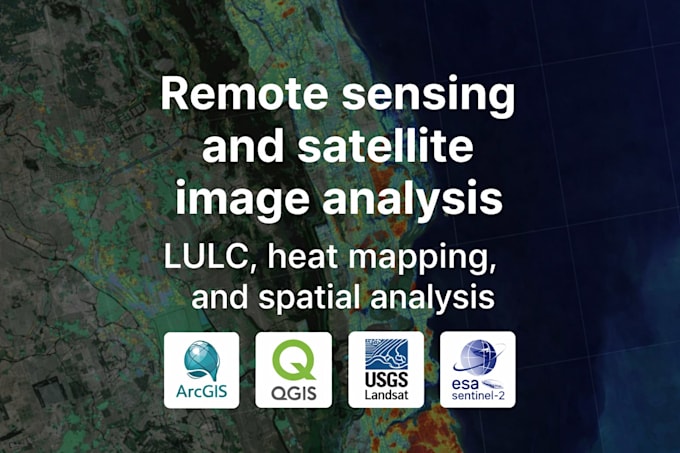
I provide high-quality satellite image analysis and remote sensing services using QGIS and ArcGIS Pro.
Recently, I completed a Heat Vulnerability Mapping project for AMAC (Abuja Municipal Area Council), analyzing land surface temperature, population exposure, vegetation cover, and urban heat hotspots. I can apply the same structured workflow to your project.
Services Offered:
-Land Use / Land Cover (LULC) Classification
-Urban Heat Island & Heat Vulnerability Mapping
-NDVI / Vegetation Analysis
-Change Detection (Multi-year comparison)
-Surface Temperature Extraction (Landsat / Sentinel)
-Population Density & Exposure Mapping
-Raster Processing & Spatial Modeling
-Academic Research Support
Data Sources:
-USGS Landsat
-Sentinel-2
-SRTM DEM
-OpenStreetMap
-Government shapefiles
-Client-provided datasets
You will receive:
-High-resolution map layouts (PDF/PNG)
-GIS files (Shapefile, GeoTIFF, QGIS Project)
-Methodology summary (if required)
-Clean cartographic layout ready for presentation
Every project is handled with analytical accuracy, not just visual styling.
Please contact me before placing an order so we can define the scope clearly.
GIS analysis and Cartography
Level 1
Languages