Browse categories
Explore
Fiverr Pro
English
$
USD


Need accurate mapping and spatial analysis? You are at the right place!
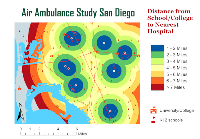
As a GeoInformatics Engineer with over 5 years of experience, I specialize in crafting tailored GIS maps, performing in-depth spatial analysis, and executing precise digitization and georeferencing.
Services I offer:
Why Choose Me?
Lets discuss your GIS needs and turn your geospatial challenges into effective solutions! Contact me to get started today!
Full Stack GIS Developer
Languages
How do you handle georeferencing in your projects?
I use advanced techniques to georeference data accurately. This includes using control points, leveraging existing spatial data, and applying coordinate transformations in software like ArcGIS and QGIS. My goal is to ensure that maps align precisely with real-world coordinates.
Can you perform spatial analysis using multiple data sources?
Absolutely! I can integrate and analyze multiple data sources to provide comprehensive spatial insights. Using tools like ArcGIS Pro and QGIS, I conduct analyses such as overlay, buffer, and network analysis to help you gain valuable insights from your data.
What formats do you accept for digitization projects?
I accept various data formats for digitization, including shapefiles, GeoJSON, KML, and CSV. If you have other formats, feel free to reach out, and I can advise on the best way to convert or process your data for use in your GIS project.