Browse categories
Explore
Fiverr Pro
English
$
USD
GIS services, Online assistance
Hi,
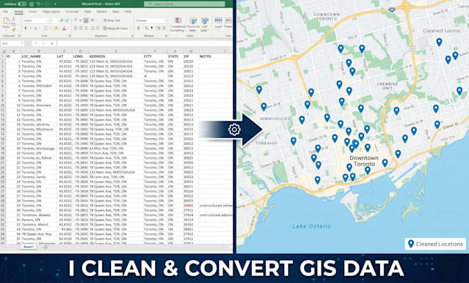
Do you have messy GIS data that is hard to use?
I help you clean, convert, and organize your spatial data so it becomes ready for mapping and analysis.
What I can do:
Tools I use:
Why choose me:
Please message me before ordering so I can understand your task.

Technology:
Python
What type of GIS data can you work with?
I can work with CSV, Excel, Shapefile, GeoJSON, KML, and other common GIS formats. If you are unsure, just send me your file and I will check it for you.
What does “data cleaning” include?
Data cleaning means fixing errors such as: missing or incorrect coordinates duplicate records wrong attribute values inconsistent formats You will receive a clean, well-structured dataset ready for mapping.
Can you convert my data into map-ready format?
Yes. I can convert your data into formats like Shapefile or GeoJSON so it can be used in GIS software or web maps.
How do I know which package to choose?
If you are not sure, send me a message with your data and requirements. I will guide you to the right package.
Will my data be kept confidential?
Yes. Your data will remain private and will not be shared with anyone.