Browse categories
English
$
USD
Connect to your AI


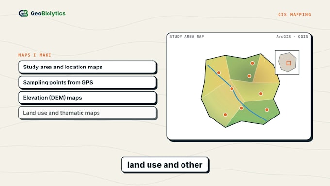
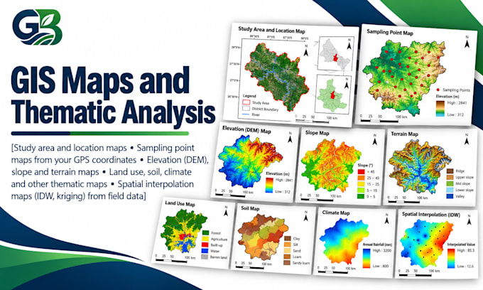
Need a clean, accurate map for your research paper, report or presentation? I create publication-quality maps in QGIS & ArcGIS with proper coordinates, scale bar, north arrow and legend.
Maps I make:
What you get:
I use GIS and remote sensing in my own published research, so your map will meet journal standard.
Please message me before ordering with your study area and site coordinates.
Data Analyst and GIS Specialist using R, Python, SPSS, ArcGIS and QGIS
Languages
What do you need from me?
Your study area name and site coordinates in Excel (latitude and longitude).
Can you add my sampling points?
Yes, from GPS coordinates in decimal degrees or degrees-minutes-seconds.
Will the map include a scale bar, north arrow and coordinates?
Yes, every map includes them.
Can you match my journal's figure size?
Yes. Send the column width or author guidelines.
Do I get the GIS files?
Yes in Premium; in other packages on request.