Browse categories
English
$
USD
Connect to your AI
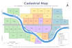
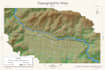
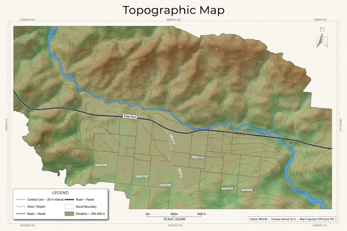
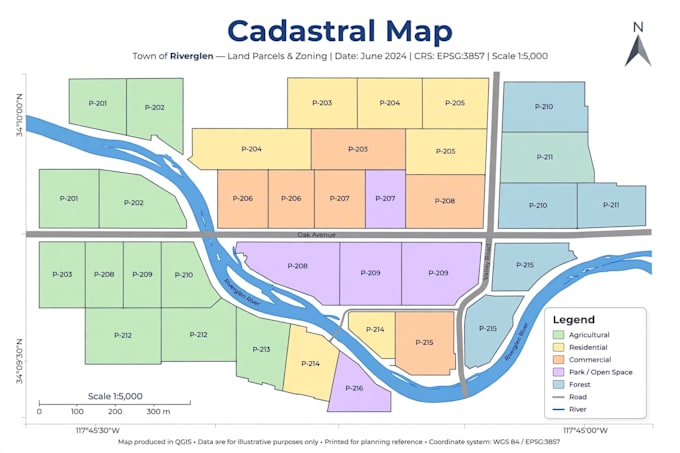
I am a geomatics and topography specialist. I create high-quality maps with QGIS, digitize your plans and process your drone images into orthophotos and 3D models.
What I can do for you:
- Professional QGIS maps (topographic, cadastral, thematic)
- Digitizing plans, parcels and roads
- Drone image processing: orthophoto, 3D model, DEM
- Spatial analysis and attribute tables
- Print-ready maps in PDF, PNG and JPG
What I need from you:
- Your data (shapefile, GeoJSON, GPS points, drone photos or scanned plan)
- The area and the purpose of the map
Delivery in 3 days, with source files included.
Contact me before ordering if you have a special request.
Geomatics GIS Specialist
Languages