Browse categories
Explore
Fiverr Pro
English
$
USD

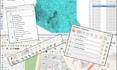
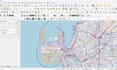


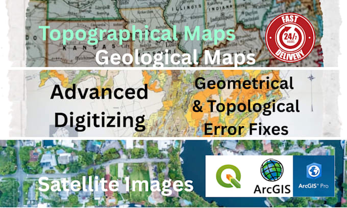
I will provide professional GIS digitizing and topology error fixing
I offer high-precision vector data creation services using QGIS to convert your source materials into accurate, analysis-ready shapefiles and other formats. I ensure your data meets the highest accuracy standards for mapping, spatial analysis, and urban planning.
I CAN DIGITIZE FROM THESE SOURCES:
MY SERVICE INCLUDES:
CHOOSE A PACKAGE:
Before placing order, text me with your source file to get started!
GIS and Remote Sensing Specialist
Languages
What file formats can you work with and deliver?
I can accept source files as JPG, PNG, PDF, or GeoTIFF for digitizing. The final deliverables will be in standard GIS formats like Shapefile (.shp), GeoPackage (.gpkg), or KML/KMZ, based on your project needs.
What specific information do you need to start my digitizing project?
To provide an accurate quote and timeline, please share: 1) Your source map/image file, 2) The features to be digitized (e.g., buildings, roads, land parcels), 3) The required attributes for each feature, and 4) Your preferred coordinate reference system (CRS)
What is the difference between the Standard and Premium packages?
Both include quality checks, but the Standard package includes basic fixes for common errors. The Premium package offers comprehensive fixes for complex topological and geometry issues, along with a detailed validation report and a quick consultation to walk you through the deliverables.
How do you ensure the accuracy of the digitized data?
I ensure accuracy by adhering to the features and scale on your source material. For higher-tier packages, I use QGIS's built-in topology checker (e.g., to eliminate overlaps, gaps, and duplicates) and perform geometry validation to guarantee the data is clean and usable for analysis.
Can you work with an existing vector file that needs correction?
Absolutely. My Standard and Premium packages are perfectly suited for this. I can perform topological and geometry checks on your existing vector layers, identify errors, and fix them according to the package you select, saving you time and improving your data's integrity.