Browse categories
Explore
Fiverr Pro
English
$
USD


Hello!
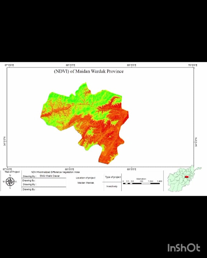
I am a professional GIS and Remote Sensing specialist with experience in creating high-quality maps and spatial analysis using ArcGIS and QGIS.
I will help you transform your geospatial data into clear, accurate, and visually appealing maps for your project, research, or business needs.
Services I offer:
️ GIS mapping and cartography
️ Land Use / Land Cover (LULC) mapping
️ NDVI, NDWI, NDBI, LST, Slope, Hill shade, map design for any project.
Tools I use:
What you will get:
️ High-quality professional maps
️ Accurate spatial analysis results
️ High-resolution images (HD/300 DPI)
️ Clean and well-designed outputs
️ Fast and reliable delivery.
I am ready to help you with your GIS and remote sensing projects.
Lets turn your data into powerful maps!
GIS and Remote Sensing Specialist
Languages