Browse categories
Explore
Fiverr Pro
English
$
USD

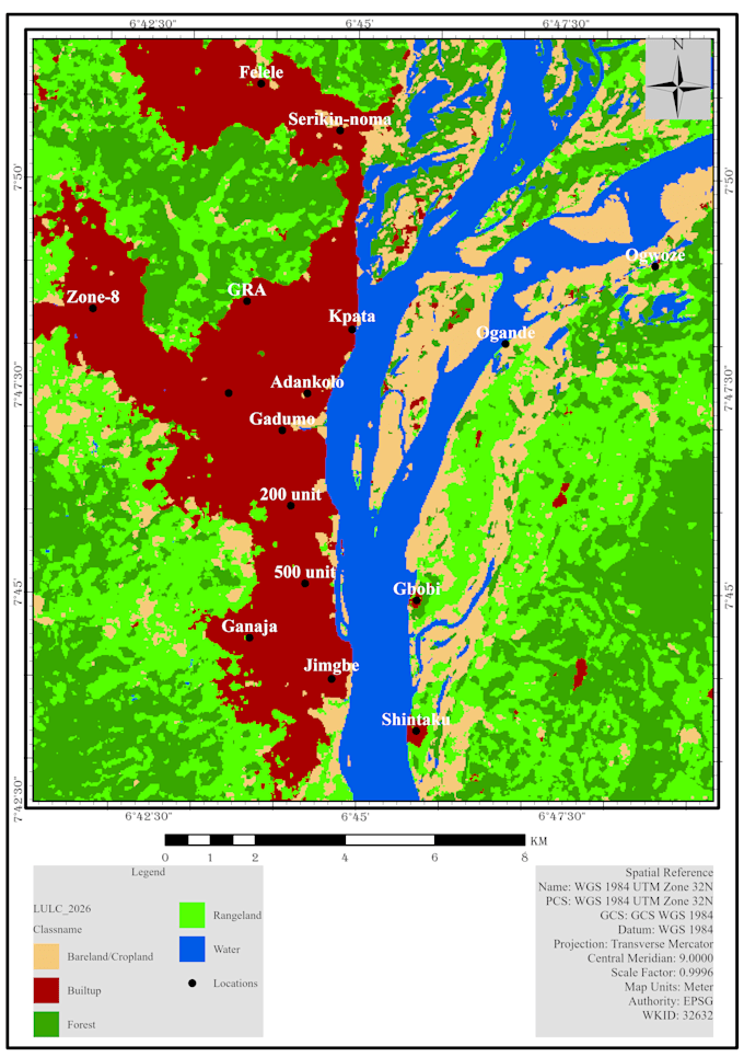

Need to see where a flood happened, or which areas are most at risk? I map floods from satellite data and build clear flood risk maps for planning, research and reports.
What I can do for you:
Flood extent mapping from Sentinel 1 radar (works through clouds)
Before and after flood comparison
Flooded area statistics by land cover (farms, buildings, roads)
Flood susceptibility mapping using rainfall, slope, elevation, soil, land cover and distance to rivers
Flood risk and vulnerability zoning (AHP weighted overlay)
What you will receive:
High-resolution flood maps (PNG and PDF)
GeoTIFF and shapefile data ready for GIS
Area statistics table
A short report explaining methods and results
Tools: Google Earth Engine, ESA SNAP, ArcGIS Pro, QGIS
Why me: I have produced GIS flood vulnerability maps and work with Sentinel 1 radar data in my research.
Please message me before ordering with your area, flood date or study period, so I can check satellite coverage and confirm scope.
Remote Sensing and GIS Specialist
Languages
