Browse categories
English
$
USD
Connect to your AI


Planning a city, writing a research report, or studying climate impact? I turn satellite data into clear vegetation and urban heat island (UHI) maps you can use with confidence.
What I can do for you:
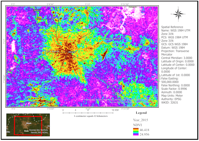
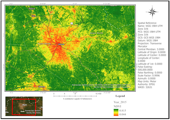
NDVI, EVI and SAVI vegetation health mapping
Vegetation loss and change detection over time
Land Surface Temperature (LST) mapping from Landsat thermal data
Urban heat island and hotspot analysis (UTFVI, NDBI)
Land use/land cover maps linking green space to temperature
Correlation between vegetation cover and surface temperature
What you will receive:
High-resolution maps (PNG/PDF) ready for reports and presentations
Processed data (GeoTIFF/shapefile)
Area statistics and a short method summary
Tools:
Google Earth Engine, ArcGIS Pro, QGIS, ENVI, Python
Why me:
Map4Impact 2025 winner (Esri West Africa Conference), with research experience in multi-decadal Landsat analysis of vegetation and land surface temperature.
Please message me before ordering with your study area, years and the maps you need, so I can confirm scope and delivery time.
Remote Sensing and GIS Specialist
Languages