I will create professional urban analysis maps and site plans

H
h4kou_
H
h4kou_
Hako

About this gig

Turn your project into a clean, professional map that stands out instantly.

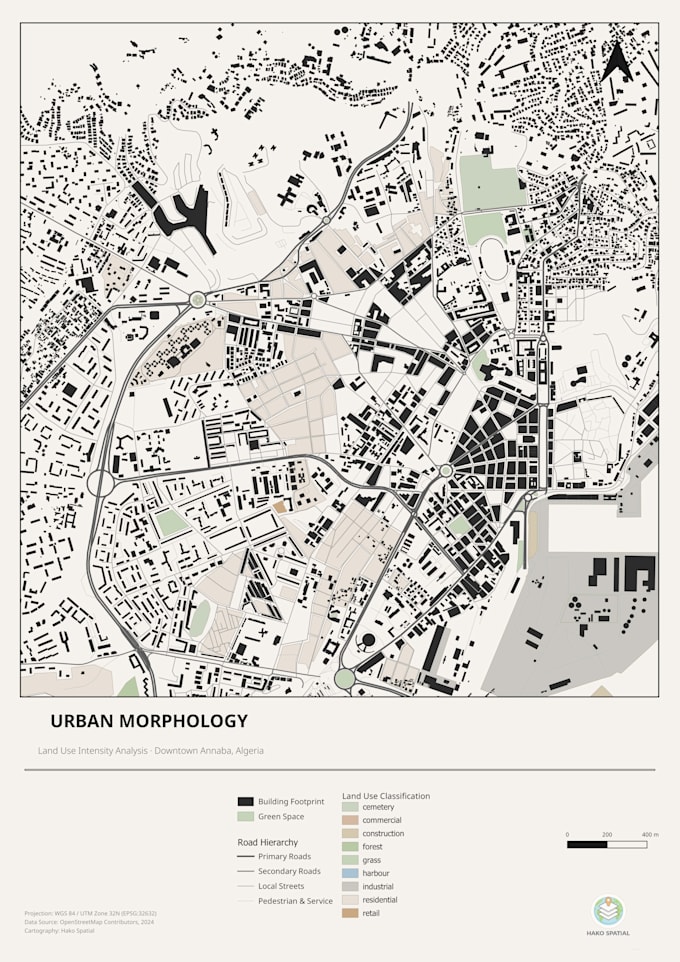
I create high-quality GIS maps tailored for architecture, urban planning, and PFE projects. Whether you need a site analysis, land use map, or urban morphology visualisation, I deliver clear, structured, and presentation-ready results.


What You Get:

  • Clean and modern map design (no clutter, no confusion)
  • Proper road hierarchy, land use, and spatial structure
  • High-resolution export ready for reports or presentations
  • Fast delivery adapted to student deadlines


Perfect For:

  • Architecture & urban planning students
  • PFE / thesis projects
  • Site analysis and presentations
  • Academic or professional reports

Tools & Expertise:

  • QGIS / ArcGIS
  • Spatial analysis & cartography
  • Clean layout design (legend, scale, hierarchy)

Before Ordering:

Send me your data or explain your project briefly.

I'll guide you to the best map type for your needs.


Why Work With Me:

I structure your project visually so it looks clear, professional, and high-level.

Get to know Hako

Hako
  • FromAlgeria
  • Member sinceOct 2024
  • Avg. response time1 hour
  • Languages

    English, Arabic
I transform geospatial data into high-impact visual outputs. My workflow bridges the gap between raw GIS analysis (QGIS, ArcGIS) and cinematic 3D modeling (Blender) to produce professional terrain models and spatial analyses. I offer: • DEM/DSM 3D visualization • Topographic mapping & contour extraction • Spatial analysis (Land use, flood, heat mapping) • Custom map design for reports & presentations My focus is on accuracy, clarity, and structural impact. If you need precise, usable, and professional visuals, I deliver results that stand out.

My Portfolio