Browse categories
English
$
USD
Connect to your AI



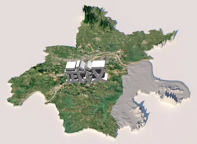
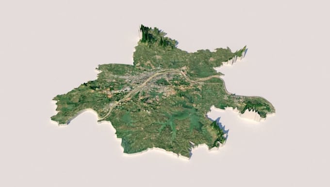
Welcome to my professional 3D Digital and Physical Terrain Modeling and Geospatial service!
Are you looking to convert your raw scan data, drone images, or point clouds into accurate, high-quality 3D terrain models and topographic maps? You are in the right place!
I offer professional data processing services to transform your spatial data into clean, usable formats for engineering, architecture, urban planning, or GIS analysis.
Services Offered:
Why Choose Me?
Please contact me before placing an order to discuss your project requirements.
Please inform the freelancer of any preferences or concerns regarding the use of AI tools in the completion and/or delivery of your order.
Expert SCAN TO BIM MEP Specialist
Languages