Browse categories
English
$
USD
Connect to your AI
Professional BIM MEP Modeler
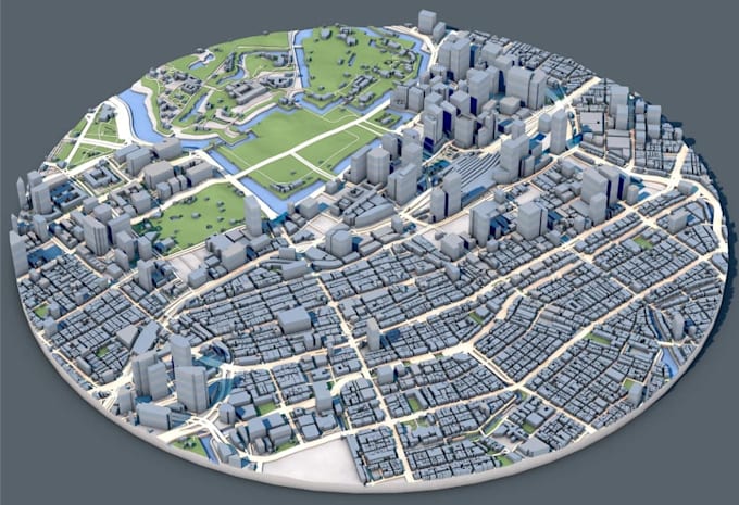
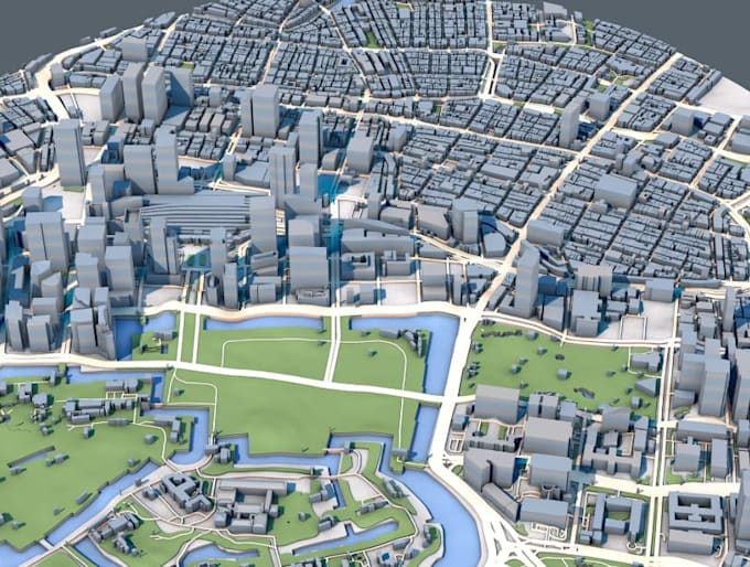
Welcome to the Professional Digital Terrain & Physical Model Creation Service!
Are you looking to transform raw drone data or dense laser scans into highly accurate digital terrain models and physical 3D-printable assets? You are in the right place!
With extensive experience in geospatial data processing and 3D modeling, I deliver precise, professional results tailored perfectly to your project needs.
What I Offer:
Please contact me before placing an order so we can review your data and discuss the specific scope of your project! Let's bring your terrain data to life.

Project scale:
Building
Building type:
Residential
•
Commercial
•
Office & workspace
Material speciality:
Concrete
•
Steel
Please inform the freelancer of any preferences or concerns regarding the use of AI tools in the completion and/or delivery of your order.