Browse categories
Explore
Fiverr Pro
English
$
USD



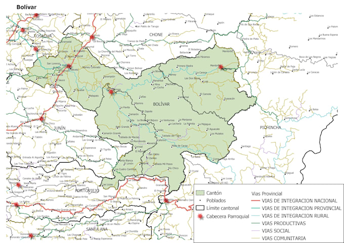
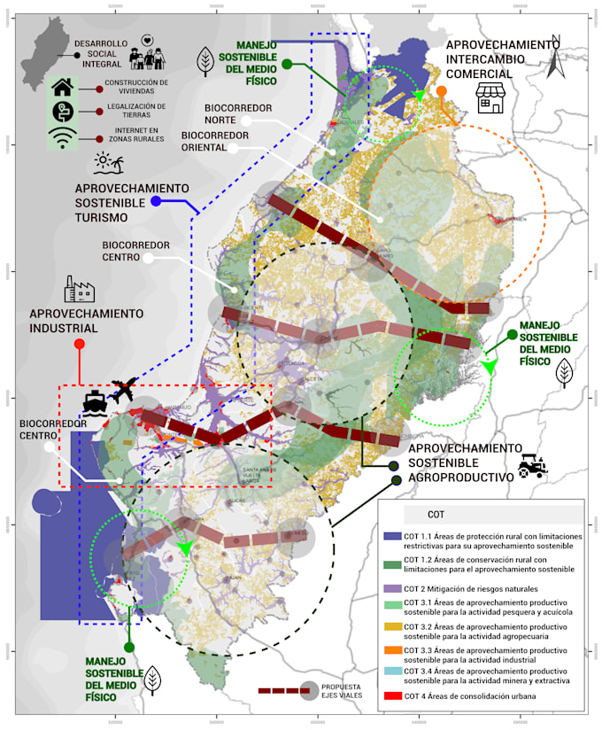
Unlock the full potential of your geographic data with a modern, high-quality QGIS mapping and spatial analysis service.
I specialize in transforming raw information into accurate, insightful, and visually compelling maps, using advanced spatial data techniques to help you see patterns, understand relationships, and make smarter decisions.
Whether you provide shapefiles, GeoJSON, CSV, spreadsheets, databases, or raster data, I will process, clean, and analyze your spatial information to deliver maps and results that truly stand out.
With a professional, detail-oriented approach, I create:
From simple visualizations to advanced geoprocessing, I bring clarity, precision, and creativity to every project.
Give your data a voice. Turn your ideas into powerful geographic insights.
Lets work together to reveal the hidden stories within your spatial information.
Geospatial Data Analyst GIS Specialist
Languages
What data formats do you accept?
I can work with a wide range of spatial and tabular formats, including Shapefile, GeoJSON, KML, CSV, Excel, TIFF/GeoTIFF, databases (PostGIS, SpatiaLite), and more. If you’re unsure, just send me a sample.
What do I need to provide to get started?
You only need to send your data, a short description of the map or analysis you need, and any specific requirements (colors, labels, study area, etc.). I’ll guide you if anything else is needed.
Do you clean or prepare the data before mapping?
Yes, I perform basic data cleaning and preparation to ensure accurate mapping, including fixing geometry issues, reprojecting layers, and organizing attributes. If your data requires extensive cleaning, restructuring, or advanced preprocessing, an additional cost may apply.
Can you customize the map design?
Yes. I can customize colors, styles, labels, scale bar, legend, layouts, symbols, and overall map theme to match your preferences or branding.
What if I'm not sure which package fits my needs?
Just send me a message with your data and goals. I’ll gladly recommend the best package based on the complexity of your project.