I will create gis maps and perform spatial analysis using arcgis, qgis, or arcpro

H
humais01
H
humais01
Mohammad Humais

About this gig

Need high-quality GIS maps or advanced spatial analysis for your research, project, or professional work?


I provide expert-level GIS services using ArcGIS Pro, QGIS, and Python. Whether you need environmental mapping, suitability analysis, hydrological modeling, or spatial statistics, I deliver accurate and publication-ready outputs.


Services I Offer

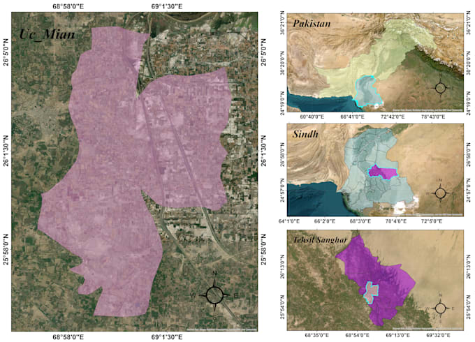
  • Thematic & environmental map creation
  • Spatial analysis (buffer, overlay, proximity analysis)
  • Multi-Criteria Decision Analysis (MCDA)
  • Hotspot/Coldspot & density mapping
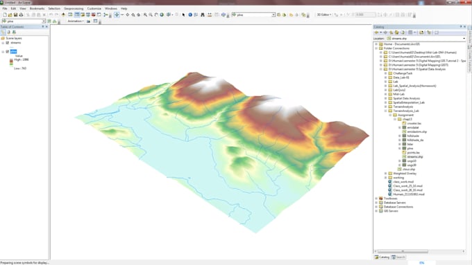
  • Terrain analysis (DEM, slope, hillshade, contours)
  • Hydrological analysis & watershed delineation
  • Geodatabase creation and data organization
  • Land suitability & risk assessment
  • Spatial statistics and raster processing


Why Choose Me?

  • Remote Sensing & GIS graduate 4+ years of experience in geospatial analysis
  • Clean cartographic design
  • Fast delivery & clear communication
  • High-resolution outputs (PDF, PNG, TIFF, GIS layers)


If you want accurate, visually-appealing, and professionally analyzed geospatial results, Im here to help!

Get to know Mohammad Humais

Mohammad Humais

From Raw Data to Powerful Geospatial Insights

  • FromPakistan
  • Member sinceSep 2020
  • Languages

    Urdu, English
Hi! I’m a GIS Analyst & Remote Sensing Specialist from Pakistan. I turn raw satellite and spatial data into accurate, meaningful maps and insights. My expertise includes land cover mapping, NDVI analysis, change detection, and geospatial automation using ArcGIS, QGIS, Google Earth Engine, ENVI, and Python. I’ve worked on projects involving Sentinel-1 & Sentinel-2 data fusion, crop classification (RF & SVM), and urban/environmental mapping. Let’s collaborate to turn your spatial data into real-world insights