Browse categories
Explore
Fiverr Pro
English
$
USD

1 order in queue
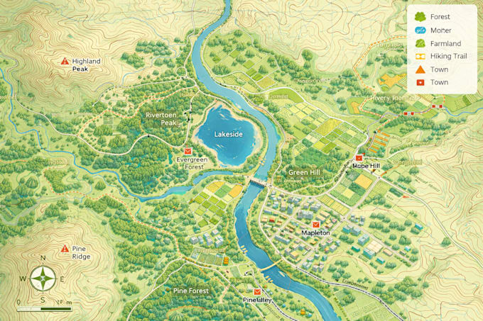
I offer professional GIS mapping, spatial analysis, remote sensing, and geospatial AI services for research, business, and planning projects. With over 8 years of experience in geospatial analysis, I help clients transform spatial data and satellite imagery into meaningful insights and high-quality maps.
My services include GIS mapping, spatial data processing, satellite imagery analysis, land use / land cover classification, and geospatial AI model development. I work with industry tools such as ArcGIS, QGIS, Python, Google Earth Engine, and machine learning frameworks to deliver accurate and reliable results.
I can assist with thematic maps, spatial analysis, remote sensing workflows, feature extraction, and geospatial data visualization. Deliverables can be provided in formats such as Shapefile, GeoJSON, raster outputs, and high-resolution maps suitable for reports or presentations.
If you need professional GIS and remote sensing expertise, feel free to contact me before placing an order so we can discuss your project requirements.
GeoAI Developer
Languages
What information do you need to start the project?
Please provide a short description of the project, the area of interest, and any spatial data you already have (shapefile, GeoJSON, raster, coordinates, etc.).
What software and tools do you use?
I work with professional geospatial tools such as ArcGIS, QGIS, Python, Google Earth Engine, and machine learning frameworks for geospatial AI analysis.
What output formats can you deliver?
I can deliver results in Shapefile, GeoJSON, KML, raster formats, PDF maps, or high-resolution images, depending on your needs.
Can you analyze satellite imagery or remote sensing data?
Yes. I can perform satellite imagery analysis, land use classification, vegetation analysis (NDVI), and other remote sensing workflows.
Do you develop GeoAI or machine learning models?
Yes. I can build geospatial AI models for feature extraction, object detection, and spatial prediction from satellite imagery or geospatial datasets.
Can you handle large or complex GIS projects?
Yes. If your project involves large datasets, advanced analysis, or GeoAI workflows, please contact me before placing an order so we can discuss the scope.