I am proficient at;
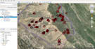
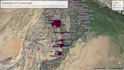
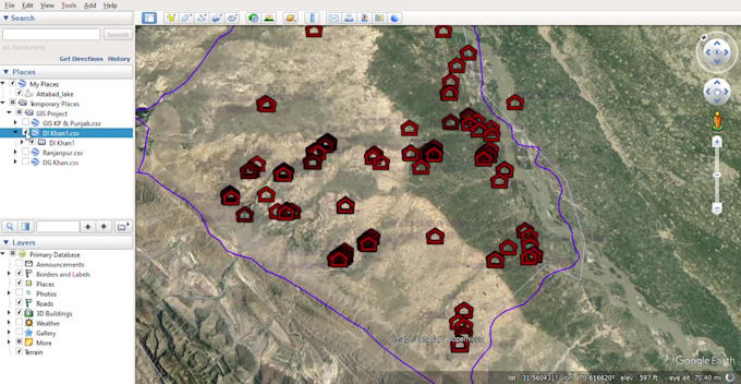
- Extract lat/long coordinates from polygons, placemarks, or other features you have in Google Earth or GIS datasets. This makes it easy to capture specific coordinate locations.
- Calculate area measurements based on point coordinates you provide.
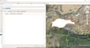
- Create new polygons and shapes based on coordinate data you supply.
- Import images, PDFs, and drawings into Google Earth at specified coordinates so they are overlaid on the map in the correct geographic position.
- Find and provide geographic coordinates for any location you need.
- Work with KML coding to ensure your data visualizes properly in Google Earth Pro and customize display options.
Let me know if you need any kind of mapping, spatial analysis, or geographic data prep work. I'm happy to take your existing datasets or information needs and translate them into visualization-ready formats