Browse categories
Explore
Fiverr Pro
English
$
USD

Level 1


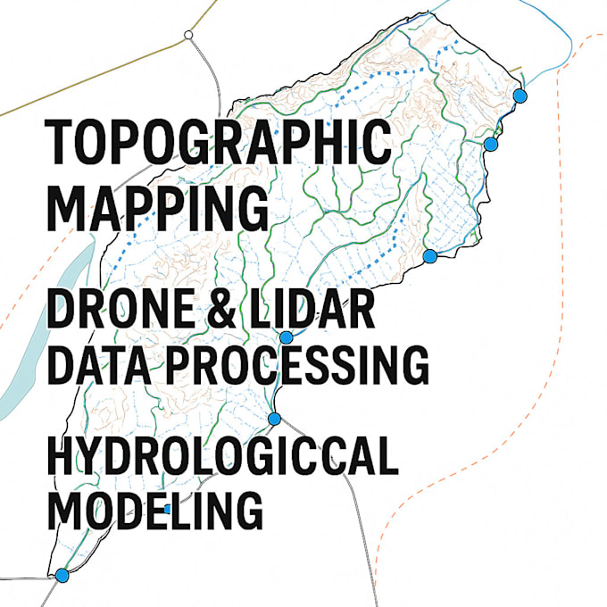
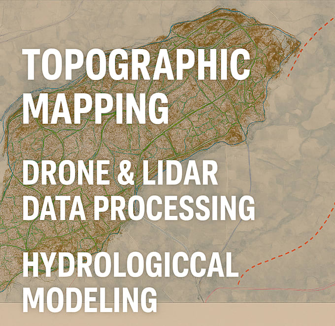
Are you looking for high-quality drone data processing and advanced image processing services for your projects? I specialize in transforming LIDAR data, SAR data, and drone imagery into actionable insights for a variety of civil engineering, environmental, and planning applications.
Services I Offer:
Deliverables:
️ Software Tools I Use:
Why Choose Me?
Lets turn your drone or remote sensing data into actionable insights and accurate maps!
CREATE, UPDATE, ANALYZE AND MAINTAIN SPATIAL DATA
Level 1
Languages
What file formats will I receive?
You will receive your processed data in the most common and useful formats, including .las, .txt, .csv, .shp and maps in pdf format for GIS compatibility. If you need another format, just let me know!
Do you offer any revisions if I need changes to the data?
Yes! I offer revisions to ensure that the final output meets your expectations. If you need any adjustments, I will work with you to make the necessary changes.
How long does it take to deliver the final results?
Depending on the complexity of the project, delivery times vary: Basic Package: 3-5 days Standard Package: 5-7 days Premium Package: 7-10 days
What type of drone data do you process?
I process all types of drone data, including imagery, LIDAR, SAR data, and topographical survey data. I can help you in performing cut and fill calculations, and analyze contours and elevation models, hydrological studies, flood analysis, water flow path and river volume
| (9) | ||
| (0) | ||
| (0) | ||
| (0) | ||
| (0) |
vantage_james
Repeat Client

United States
Great product as always!
Up to $50
Price
1 day
Duration

vantage_james
Repeat Client
United States
Quick turn around and fantastic job
$50-$100
Price
2 days
Duration
vantage_james
Repeat Client
United States
Always great working together!
$50-$100
Price
5 days
Duration
kgspellacy
United States
Delivered as expected, ahead of schedule.
Up to $50
Price
1 day
Duration
vantage_james
Repeat Client
United States
Always does great work
$50-$100
Price
3 days
Duration
| (9) | ||
| (0) | ||
| (0) | ||
| (0) | ||
| (0) |
vantage_james
Repeat Client
United States
Great product as always!
Up to $50
Price
1 day
Duration
vantage_james
Repeat Client
United States
Quick turn around and fantastic job
$50-$100
Price
2 days
Duration
vantage_james
Repeat Client
United States
Always great working together!
$50-$100
Price
5 days
Duration
kgspellacy
United States
Delivered as expected, ahead of schedule.
Up to $50
Price
1 day
Duration
vantage_james
Repeat Client
United States
Always does great work
$50-$100
Price
3 days
Duration