Browse categories
Explore
Fiverr Pro
English
$
USD
I will do ai powered object detection from satellite or drone imagery
Expert's Solution to GIS Maps and Data Collection Tools
Having trouble with your GIS Mapping or Data Collection projects? Need a survey and data management expert??🤯
With 6 years' experience in GIS Mapping & Survey Form Design, I am your ⚡'Go to Expert'!...
About this Gig
No more manual digitizing! Automate and optimize with AI.
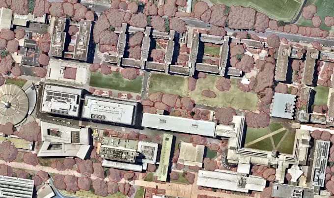
Unlock the power of AI to detect objects in your satellite or drone imagery. I'm here to transform your aerial images into accurate, actionable data.
Objects AI model detect:
- Buildings
- Trees and forests
- Swimming pools
- Waste materials
- Industrial machinery
- Solar panels
- Roads, railways, and their condition
- Water bodies: rivers, canals, ponds, and lakes
- Agricultural fields (paddy fields, plantations) and their condition
- Bare land and open space
- Construction and development sites
- Vehicles, Cars Counting
- Wind turbines and other energy infrastructure
- Coastal areas and beaches
- Campsites and temporary settlements __and many more!
Deliverables:
- Geo-referenced vector files in your preferred format (GeoJSON, Shapefiles, KML)
- Clear visual maps with object annotations and symbols
- Optional data insights: object counts, area calculations, and heatmaps to inform your planning
Don't have access to satellite or drone imagery? No worries, I can help you source free or commercial data that suits your needs and location.
Lets make it easy: Just share your area of interest. We can start from there, Lets discuss in details your requirements
Programming language:
Python
•
R
•
SQL
•
Java
•
MLflow

