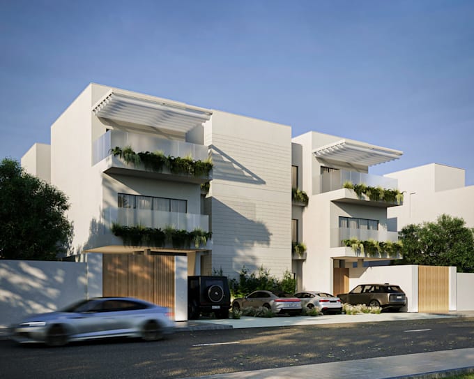
I will help architect with construction documentation, convert lidar to 3d topography

I
isooluwa
I
isooluwa
Iso Oluwa

About this gig

As a professional architect and geospatial technician, I specialize in transforming raw LiDAR and survey data into high-precision 3D topography and digital elevation models (DEM/DTM).


I also provide comprehensive support for your architectural construction documentation, taking the heavy lifting off your plate so you can focus on design and client relations.


Here I will help architect with construction documentation, convert lidar to 3d topography


Software Expertise

  • Topography & LiDAR: AutoCAD Civil 3D, ArcGIS Pro, QGIS, Recap, CloudCompare.
  • BIM / Drafting: Autodesk Revit, Archicad, AutoCAD.
  • 3D Modeling / Rendering: SketchUp, Rhino, Blender


Looking forward to work with you

Service verification and delivery style preference

Fiverr does not screen freelancers in this category. Please verify qualifications and discuss requirements with the freelancer before ordering, including any preferences regarding the use of AI tools.

Get to know Iso Oluwa

Iso Oluwa

Revit Expert

  • FromColombia
  • Member sinceJul 2026
  • Languages

    English, Spanish
Hello, I'm Iso Oluwa, a Revit BIM Specialist with more than five years of work experience and more than 200 completed projects My team saves you time by transforming point clouds, CAD, and PDFs into accurate, build-ready Revit models. We take care of the heavy lifting—managing clash detection, preparing construction documents, and coordinating with your contractors to ensure a hassle-free, error-free build If you’re scaling your BIM production or need a team that works without micromanagement, let’s connect