Browse categories
English
$
USD
Connect to your AI

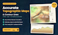
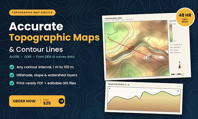
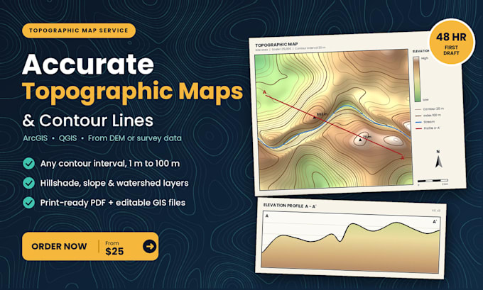
Need accurate contour lines and a clean topographic map, not a blurry export that fails review? ️
Stop wasting days fighting DEMs, projections and messy elevation data. I turn your DEM, survey points or satellite elevation data into sharp, report-ready topographic maps and contour lines in ArcGIS or QGIS. Ideal for site planning, mining and exploration projects, thesis work, hydrology studies and engineering reports.
WHAT YOU GET:
Contour lines at your chosen interval (1 m to 100 m)
Topographic and elevation maps with hillshade
Slope, aspect and watershed maps from DEM
Elevation profiles and spot heights
PDF, PNG (300 DPI) plus editable GIS files
WHY CLIENTS ORDER:
First draft in 48 hours
Up to 3 revisions to match your specs
Correct projections, scale bars and clear labels
Wrong intervals, jagged lines and unreadable labels cost you credibility. I deliver maps that read cleanly at first glance.
Send me your area and data, and Ill confirm scope and timeline before you order. Click Order Now and get your map started today!
Geologic Mapping and Cross Section Specialist
Languages
What do I need to send you?
Your area of interest (name, coordinates or boundary file) plus a DEM, survey points or other elevation data. If you have none, I can use free public DEM data.
What contour interval can you use?
Any interval from 1 m to 100 m. Tell me your preference or I’ll pick one that suits your scale.
Can you add slope, aspect or watershed maps?
Yes, they’re included on higher packages or available as an extra.
What files do I get?
PDF and PNG at 300 DPI, plus editable ArcGIS or QGIS files on Standard and Premium.
How many revisions are included?
One on Basic, three on Standard, five on Premium.