Browse categories
English
$
USD
Connect to your AI

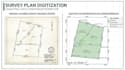
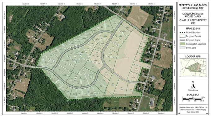
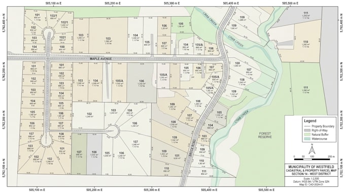
Managing property information, identifying individual plots and visualizing land boundaries can be challenging when working with scattered records, survey drawings or unorganized geographic data.
I help property professionals, landowners and real estate developers transform supplied property information into professional GIS maps and organized digital parcel layouts.
MY SERVICES INCLUDE:
WHAT YOU WILL RECEIVE:
Whether you need to digitize an existing survey plan, visualize multiple land parcels or prepare a subdivision layout, I can help turn your supplied geographic information into a clear and useful mapping solution.
Mapping Places Visualizing Data Supporting Better Decisions
Languages
. Can you create property maps using my existing survey plan?
Yes. I can digitize and visualize information from supplied survey plans, provided the documents contain sufficient readable geographic information.
Can you map multiple land parcels and assign plot numbers?
Yes. I can organize multiple parcels into a clear GIS map with individual plot identification, labels and boundaries based on the supplied data.
Can you convert scanned survey plans into digital GIS maps?
Yes. I can georeference and digitize suitable scanned plans into organized geographic layers. Accuracy depends on the quality and reference information of the original document.
Can you create subdivision maps with roads and individual plots?
Yes. I can prepare visual subdivision layouts from supplied plans, boundaries and design instructions. Engineering and regulatory approval are not included.
Can you retrieve property boundaries using an address?
I can investigate available public GIS parcel datasets for the specified location. Availability and coverage depend on the local authority and data access.
Can you handle large subdivision or cadastral mapping projects?
Yes. Larger projects can be discussed through a custom offer after reviewing the geographic area, number of parcels and source data.