Browse categories
English
$
USD
Connect to your AI

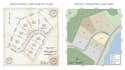
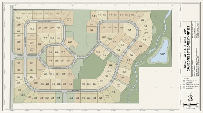
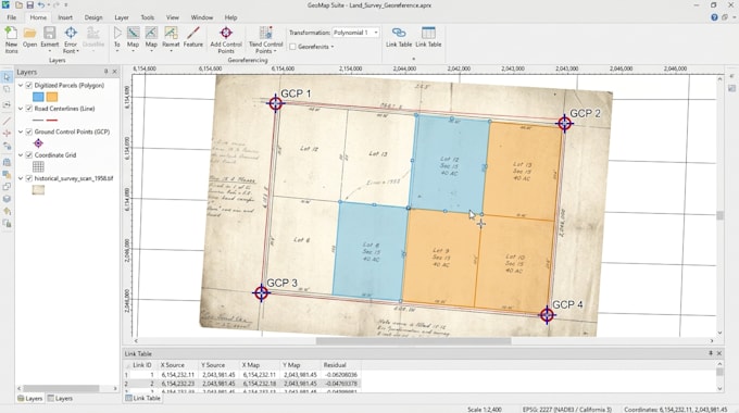
Do you have scanned survey plans, PDF land drawings or existing property records that need to be converted into organized digital GIS maps?
I will transform your survey documents into detailed, editable GIS property and parcel maps, helping you visualize land boundaries, organize spatial information and manage property data more effectively.
My services include:
What you will receive:
Whether you are a land surveyor, property developer, real estate professional or land management company, I can help turn your existing survey documents into useful digital mapping resources.
Mapping Places Visualizing Data Supporting Better Decisions
Languages
Can you convert a scanned survey plan or PDF into a GIS map?
Yes. I can digitize supplied scanned survey plans and PDF drawings into digital GIS vector data, subject to the quality and available reference information.
What file formats do you accept?
I can work with PDF, JPG, PNG, TIFF, DWG, DXF and existing GIS files, depending on the project requirements.
Can you map multiple land parcels or subdivisions?
Yes. I can digitize multiple parcels, organize their boundaries and prepare structured property mapping outputs.
Can you work with survey plans that do not have coordinates?
Yes, I can perform visual digitization, but reliable georeferencing requires suitable reference information. The available accuracy depends on the source.