Browse categories
Explore
Fiverr Pro
English
$
USD



Im a GIS & Remote Sensing Analyst with hands-on experience using ArcGIS and Python for spatial analysis, mapping, and data processing. I work with a wide range of datasets from environmental and geographic data to weather and climate-related information turning raw data into clean, accurate, and meaningful maps.
My focus is on doing the job properly: clean data, correct analysis, and outputs that are easy to understand and ready to use.
What I Can Help You With
If youre working with maps, spatial data, or satellite imagery and need someone who can handle the technical side without overcomplicating things, Ive got you covered.
GIS and Remote Sensing Analyst
Languages
What type of projects do you work on?
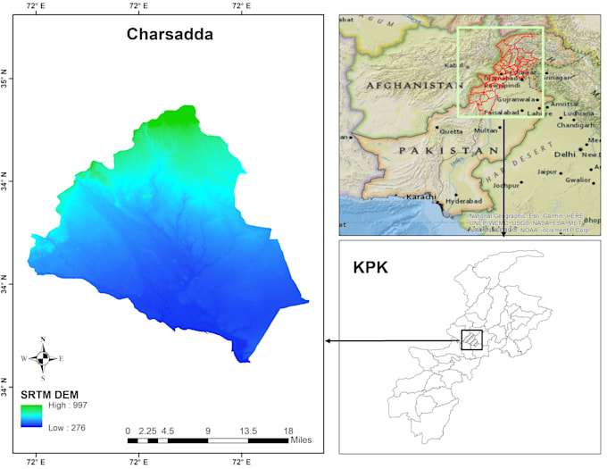
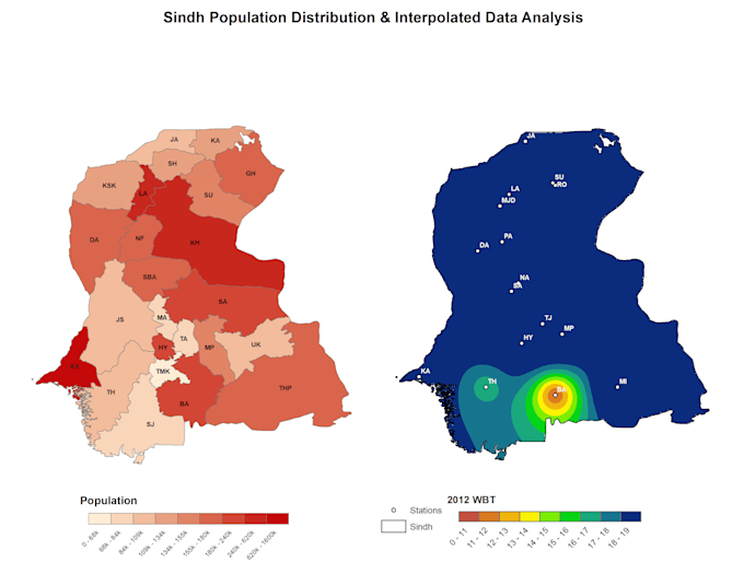
I work on a wide range of GIS, remote sensing, and spatial data projects, including mapping, spatial analysis, satellite image processing, and data visualization. This can be for research, reports, planning, or general analysis — not limited to one field.
Do you only work with climate or weather data?
No. While I do have experience with weather and climate datasets, I also work with general spatial, environmental, geographic, and satellite data. If your project involves maps or spatial analysis, feel free to ask.
What data formats can you work with?
I can work with most common spatial and data formats, including Shapefile, GeoTIFF, NetCDF, CSV, Excel, and raster/vector datasets. If you’re unsure about your data, you can message me first.
Which tools do you use?
I mainly work with ArcGIS and Python for spatial analysis, mapping, automation, and data processing. I also use remote sensing techniques depending on the project requirements.
Can you create publication-ready or professional maps?
Yes. I create clean, professional, and presentation-ready maps suitable for reports, research papers, and presentations.
Do you accept custom or complex projects?
Absolutely. Many GIS and remote sensing projects are unique, so I’m happy to review custom requirements and provide a tailored solution.
Do I need to contact you before placing an order?
It’s highly recommended. A quick message helps me understand your data and expectations, and ensures we choose the right package for your project.
Will you explain the results if I’m not technical?
Yes. I’m happy to explain the outputs in simple, easy-to-understand terms, especially if you’re new to GIS or spatial analysis.
Is my data kept confidential?
Yes. All client data is treated as confidential and is only used for your project.