Browse categories
English
$
USD
Connect to your AI
Hydro Engineer
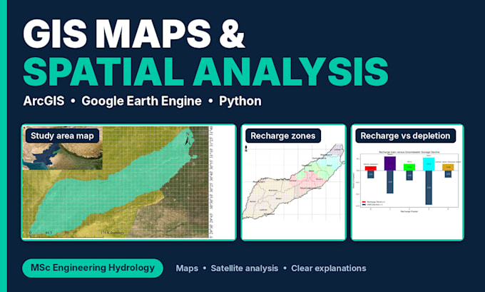
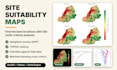
Hi, Im Jahanzeb, an MSc Engineering Hydrology student and GIS analyst at UET Lahore. I turn your location data into clear maps and useful spatial analysis.
What I can do:
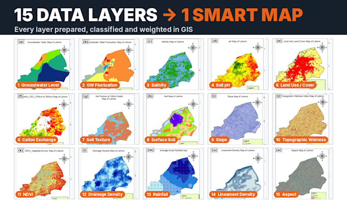
My past work:
Tools: ArcGIS, QGIS, Google Earth Engine, Python.
To start, send me your study area, any data you have, the output format (PNG, PDF or GIS files) and your deadline. Not sure which package? Message me first and Ill recommend one.


1. What do you need from me to start?
Your study area or location, any data you already have (shapefiles, coordinates, tables, images), the output you want and your deadline. If you don’t have data, tell me and I’ll suggest free sources such as satellite imagery.
2. Can you find the data for me?
For many projects, yes. I can use free satellite and climate datasets through Google Earth Engine. Tell me what you need, and I’ll confirm before I start whether the data is available.
3. What file formats will I receive?
Maps as PNG or PDF. I can also send GIS files (shapefiles or GeoTIFF) on request, so you can keep working with the data.
4. Do you do flood, watershed or groundwater analysis?
I can provide the mapping and spatial analysis side, such as watershed and drainage maps, recharge and groundwater mapping, and satellite-based water studies. Message me first for anything highly specialized so I can confirm it’s a fit.
5. Can you work with my university, thesis or research project?
Yes, I can help with the GIS and spatial analysis part of research projects, with maps, results and a clear explanation of the method. If you acknowledge my contribution in your work, I offer a discount of up to 35%. Message me with your project details and we’ll agree on the scope and discount.
6. How many revisions do I get?
Each package includes revisions (1, 2 or 3). If your request changes after we agree on the scope, I may suggest a custom offer for the extra work.
7. Can I order something not in the packages?
Yes. Message me with details before ordering, and I’ll send a custom offer if it’s something I can do.