Browse categories
English
$
USD
Connect to your AI
GIS Specialist Flood Risk, Land Use Watershed Mapping in ArcGIS QGIS
Need to digitize your parcel, plot, or land map?
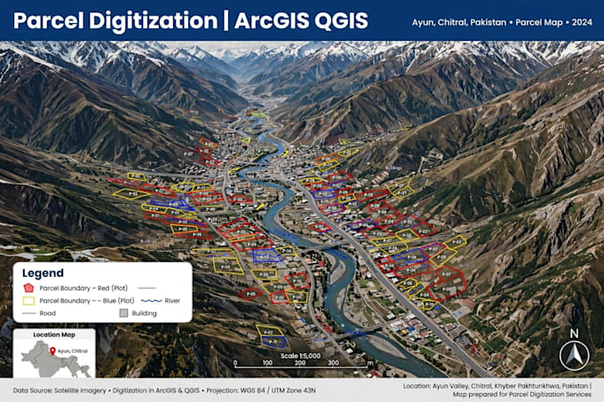
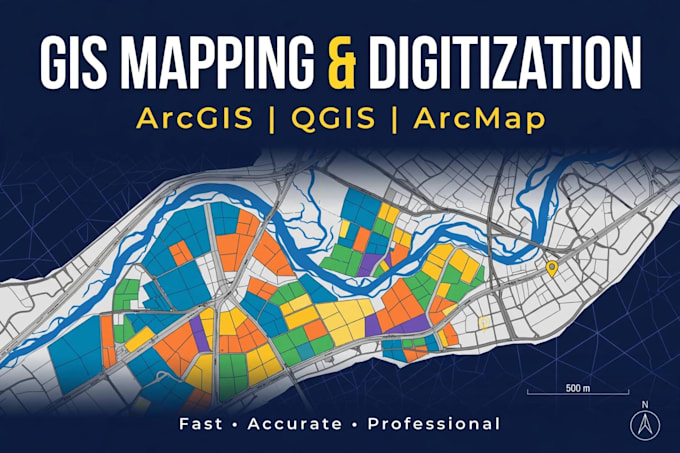
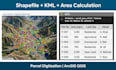
I will do Parcel Digitization, Geo-referencing, and Digitize any map from PDF, scanned image, Google Earth, or KML in ArcGIS / QGIS.
What you will get:
- Accurate digitized parcels / plots / boundaries
- Geo-referenced map with correct coordinates
- Shapefile + KML + GeoTIFF + PDF / JPG map
- Clean attribute table - Plot No, Area, Owner Name if you provide
Perfect for:
Land records, property plots, farm boundaries, site plans, municipal maps, and real estate projects.
What I need from you:
Your PDF / scanned map / Google Earth screenshot / KML, and the location.
Message me before ordering - I will check your file and confirm price and time
What do you need from me to start?
Just send me your study area name / location, or boundary file if you have it. I will do the rest.
Do you provide Shapefile?
Yes, in Standard and Premium.
What file do you need?
PDF, scanned image, Google Earth screenshot, or KML. Any is fine