Browse categories
Explore
Fiverr Pro
English
$
USD
I will develop custom LiDAR and point cloud processing software for surveying, construction, mapping, robotics, real estate, infrastructure, and 3D applications.
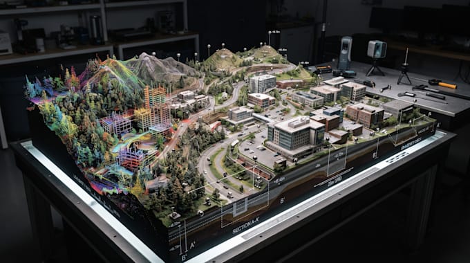
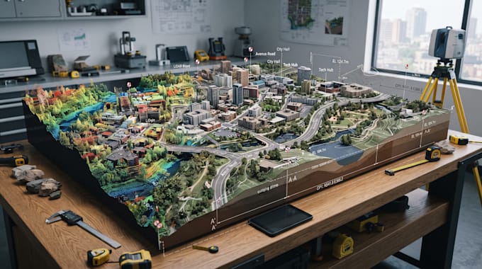
I can build systems that process large spatial datasets and convert raw scan data into structured 3D information.
My development services include LiDAR processing, point cloud processing, 3D scanning, 3D reconstruction, point cloud segmentation, ground classification, object detection, surface extraction, terrain modeling, elevation processing, geometry extraction, spatial measurement, 3D measurement, building reconstruction, roof modeling, automated measurement, computer vision, geospatial software, API development, and web application development.
I can develop processing engines, desktop tools, backend services, REST APIs, web platforms, or integrate LiDAR capabilities into an existing application.
Send your sample point cloud, data format, workflow, and requirements for a customized development solution.