Browse categories
Explore
Fiverr Pro
English
$
USD

Hi, I'm Willian David,
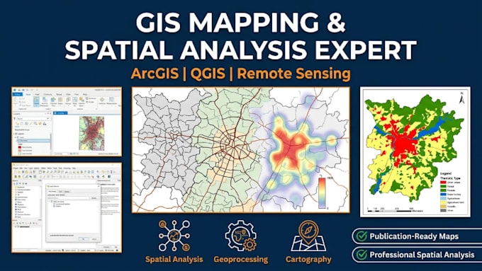
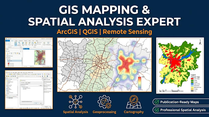
GIS and Remote Sensing expert with over many years of experience. I provide GIS support to Engineers, Consultants, Real Estate Agents, NGOs, Researchers, and Government Teams across the all country.
Tools I Use : ArcGIS , QGIS, Google Earth Pro, PostGIS, Python, Mapbox
Services I Offer:
Deliverables:
Why Choose Me:
Please message me before placing an order.
My priority is ensuring 100 percent client satisfaction
Languages
What data do I need to send you to start?
Whatever you have — shapefiles, CSV, KML, Excel, scanned maps, PDFs, or just the area name and what you want shown. If you don't have data, I can source it from open datasets (OpenStreetMap, USGS, Copernicus, etc.) as a paid extra.
What format will I receive my map in?
By default, you get a high-resolution PDF and PNG. On Standard and Premium, you also get the editable source file (.qgz for QGIS or .aprx for ArcGIS Pro). I can also deliver GeoTIFF, SHP, GDB, KML/KMZ, or print-ready A3/A2/A1 PDFs on request.
Can you do spatial analysis (buffer, overlay, suitability, hotspot)
Yes — included in Standard and Premium. Common analyses I deliver: buffer/proximity, overlay & intersect, suitability modeling, hotspot/density (Getis-Ord, KDE), interpolation (IDW, Kriging), network analysis, and viewshed.
I have a bigger project — can you help?
Absolutely. For full StoryMaps, dashboards, web GIS, or multi-month analytical projects, message me and I'll build you a custom offer or point you to the right gig in my profile.