Browse categories
English
$
USD
Connect to your AI

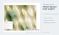
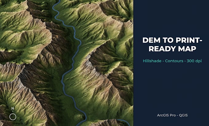
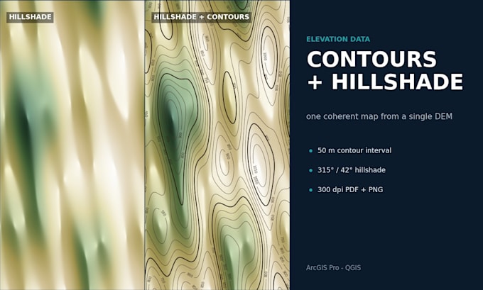
Need a clean, print-ready map from drone, satellite or DEM data? I turn raw elevation and imagery into professional map sheets you can print or share.
What you get:
I work with GeoTIFF, SHP, GeoPackage, DXF and most common GIS formats. If your data has no CRS or the coordinates look wrong, I check and fix it before mapping.
Send me your data format, area of interest, and whether you need print or web output. I will confirm feasibility before you order.
Note: cartographic map production only, not licensed land surveying.
GIS Survey Data Engineer and Python, ArcGIS, Land Parcel and Field Data
Languages
What data do I need to send?
A GeoTIFF DEM works best. I also accept ASC, SHP, GeoPackage or DXF contours, and drone or satellite imagery. Send your data format, area of interest and whether you need print or web output. If the CRS is missing or wrong, I check and fix it before mapping.
What will I receive?
A 300 dpi print-ready PDF and a high-res PNG for web, both made from the same DEM so contours and hillshade always agree. The sheet includes legend, scale bar, north arrow and a neat layout, plus a short note on the source and vertical datum.
What contour interval do you use?
It depends on your DEM resolution and map scale. Tell me your preferred interval and I will use it. If you are not sure, I choose a sensible one and show you a preview before the final export.
Do I need ArcGIS Pro to open the files?
No. The PDF and PNG open in any viewer. I can also export the editable source as a GeoPackage, SHP or DXF so you can keep working with the contours in QGIS or another GIS.
Is this a licensed land survey?
No. This is a cartographic product made from the data you provide, for visualization and planning only. It is not a legal survey or a certified boundary document.