Browse categories
Explore
Fiverr Pro
English
$
USD


Are you looking for accurate and professional GIS mapping or data tagging services?
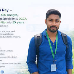
I provide professional GIS mapping, digitization, and data tagging services using ArcGIS and QGIS. With 2+ years of experience as a GIS Analyst and DGCA Certified Drone Pilot, I ensure accurate georeferencing, clean topology, structured datasets, and proper format conversion (SHP, KML, GeoJSON, GeoTIFF).
My services include:
Map digitization from PDF/Image
Georeferencing scanned maps
GIS data tagging and attribute entry
I guarantee high accuracy, timely delivery, and professional communication.
Please message me before placing an order to discuss your project requirements.
Welcome Jiban World of GIS Solution
Languages
What information do you need to start the project?
Please provide your dataset (PDF, image, SHP, KML, GeoTIFF, etc.), clear instructions, coordinate system (if known), and expected output format. The more details you provide, the better and faster I can deliver.
What file formats do you deliver?
I can deliver in SHP, KML/KMZ, GeoJSON, GeoTIFF, CSV, and print-ready PDF map layouts. If you need another format, please message me before ordering.
Can you handle large datasets?
Yes, I can process large datasets. For big projects (1000+ features), please contact me first so we can discuss scope, timeline, and pricing.
Do you offer custom or urgent delivery?
Yes, I offer custom packages and extra-fast delivery options. Please message me before placing urgent orders.


