Browse categories
Explore
Fiverr Pro
English
$
USD
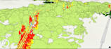
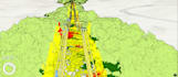
I provide professional geospatial data analysis using ArcGIS Pro, delivering both 2D and 3D spatial insights for infrastructure, environmental, and planning projects. While my core expertise is advanced 3D point cloud and LiDAR analysis, I also support vector, raster, terrain, and spatial modeling workflows. My goal is to convert complex spatial data into accurate, decision-ready outputs tailored to your project needs.