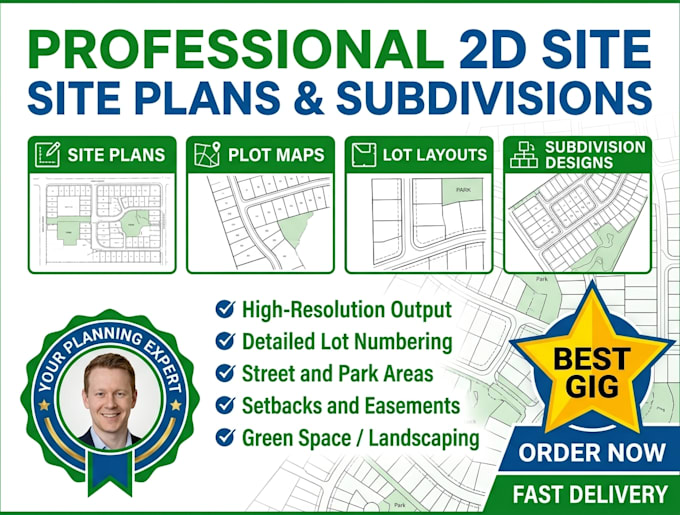
I will create a 2d real estate site plan, plot map, or subdivision layout

J
john_son021
J
john_son021
Frank Bess

About this gig

Need a clean, eye-catching site plan to help buyers visualize your land or development? Raw CAD drawings and blurry aerial photos are hard for everyday clients to read.

I convert your blueprints, surveys, or satellite views into crisp, colorful 2D vector site plans and plot maps built for marketing and sales.


What I Design:

  • Residential Subdivision & Master Plans
  • Single & Multi-Lot Real Estate Plot Maps
  • Commercial Property & Industrial Layouts
  • Landscaping, Roads, Lot Numbers & Custom Legends


Why Work With Me?

  • Sharp, scalable vector graphics created in Adobe Illustrator
  • High-resolution JPG, PNG, and print-ready PDF files
  • Editable AI/EPS source files available in Standard & Premium packages
  • Clear, responsive updates throughout your project


How to Get Started:

Message me with your CAD file, plat survey, sketch, or property coordinates before ordering so we can review lot counts and details.


Let's bring your property vision to life!


Delivery style preference

Please inform the freelancer of any preferences or concerns regarding the use of AI tools in the completion and/or delivery of your order.

Get to know Frank Bess

Frank Bess

Illustrated Property Map Designer and Site Plan Specialist

  • FromUnited States
  • Member sinceOct 2026
  • Languages

    English
Most property hosts face a frustrating problem: guests get lost, misread blueprints, or call at 2 AM asking where things are. I fix this by turning your coordinates, sketches, or satellite views into beautifully illustrated, crystal-clear visitor maps that guide guests seamlessly. What I Offer: • Campground & RV Park Check-in Maps • Resort, Hotel, & Airbnb Property Layouts • Real Estate Plot Maps & Site Plans • Hiking & Outdoor Trail Maps Ready to eliminate guest confusion and make your property look world-class? Send a message today with a screenshot of your land, and let’s talk!