Transform your spatial data into interactive visual tools. As an Environmental Engineer and GIS Professional, I build tailored geographic solutions for environmental, civil engineering, and land administration projects.
What I Can Build:
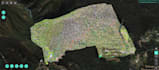
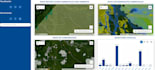
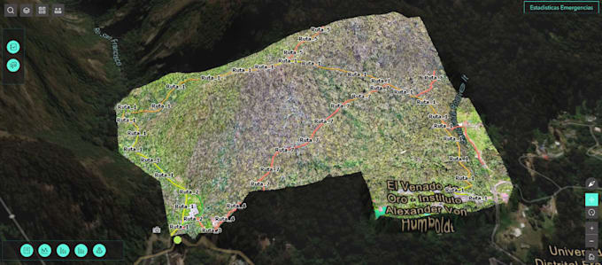
- Web Maps: Custom-styled maps using ArcGIS Online with configured pop-ups and symbology.
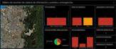
- Dynamic Dashboards: ArcGIS Dashboards featuring charts and gauges that respond to user filtering.
- Custom Web Apps: Scalable UI applications using ArcGIS Experience Builder.
- Field Integration: Connect your maps to field operations via ArcGIS Field Maps and Survey123.
- Automation: PostgreSQL database management and Python scripting for data cleaning.
Why Work With Me?
- Technical Rigor: I ensure topological accuracy and database integrity before publishing.
- End-to-End Service: I handle everything from raw data processing to final UI configuration.
- Bilingual: Spanish and English capabilities for diverse projects.
Please message me before ordering to review your data and discuss the perfect custom architecture.