Browse categories
Explore
Fiverr Pro
English
$
USD


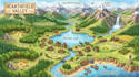

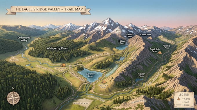
Exploration becomes effortless when every path, elevation, and connection is designed with clarity and purpose. I create professional mapping illustrations that combine accuracy with visual storytelling, helping hikers, travelers, planners, and outdoor enthusiasts navigate both natural and urban environments with confidence. Each map is crafted to be clean, readable, and visually engaging, turning complex geography into a simple and intuitive experience.
What I Offer:
Why Choose Me:
Message me before placing your order so we can discuss your requirements and create a professional map that fits your outdoor, transit, or navigation project perfectly.
Please inform the freelancer of any preferences or concerns regarding the use of AI tools in the completion and/or delivery of your order.
Landscape Engineer
Languages