Browse categories
Explore
Fiverr Pro
English
$
USD

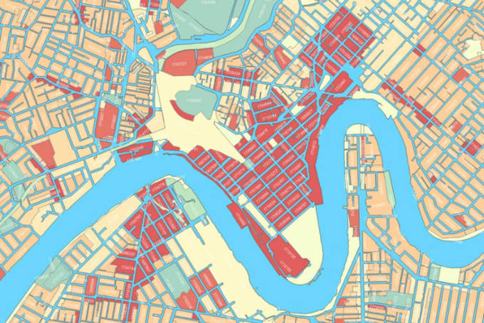

I am a GIS Expert having experience of more than 5 years in the field of GIS. I will do spatial analysis using ArcGIS, Python programming using ArcPY, QGIS, ENVI and ERDAS.
I can provide following services for Spatial Analysis using Geospatial Techniques :-
1. FTTH/ODN Designing.
2.Georeferencing.
3.Spatial Analysis.
4.Network Analysis.
5.Vector Analysis.
6.Raster Analysis.
7.GIS Maps.
8.Suitability Analysis.
9.Topographic Maps.
10.Data Anlysis and Map creation of outputs.
11.Coordinate systems.
12.ArcPy programming.
13.Digitization.
14.Classification.
Languages
