I am a surveyor with experience in topography coordination for construction projects, including planning activities, designs, and quantity calculations. I have experience in bridge, slope, and road co...
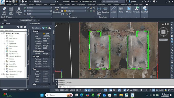
I will convert LiDAR scan data into clean, editable DWG and PDF plans using AutoCAD and Civil 3D.
I specialize in processing point cloud files (LAS, LAZ) to extract topographic and structural information for professional use.
What I offer:
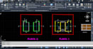
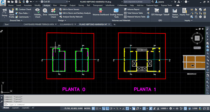
Accurate 2D drawings from LiDAR scans
Parcel boundaries, contour lines, and terrain features
Georeferenced plans with real-world coordinates
Clean DWG files compatible with all AutoCAD versions
Print-ready PDF sets for documentation or permits
I work with data from drones, terrestrial scanners, or GNSS surveys. Whether you need subdivision layouts, topographic maps, or construction-ready drawings, Ill deliver precise results tailored to your project.