Browse categories
Explore
Fiverr Pro
English
$
USD

Do you have drone images that need professional processing?
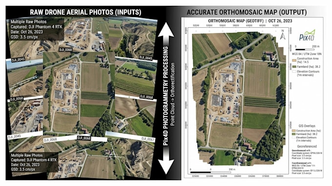
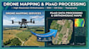
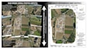
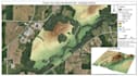
I specialize in Drone Data Processing using Pix4D to create accurate maps, 3D models, and terrain data for land survey, construction, and mining projects.
Using Pix4D Mapper and other geospatial tools, I deliver high-quality mapping outputs ready for AutoCAD, Civil 3D, and GIS use.
My Services Include:
Why Choose Me:
Lets turn your drone images into professional-grade data you can trust!
Message me before ordering for the best quote and project details.
Please inform the freelancer of any preferences or concerns regarding the use of AI tools in the completion and/or delivery of your order.
Freelance CAD Specialist AutoCAD Civil 3D ,GIS
Languages
| (1) | ||
| (0) | ||
| (0) | ||
| (0) | ||
| (0) |

mmuhammad_ayaz
Repeat Client

Pakistan
Very satisfied with the results. Would hire again.
Up to $50
Price
2 days
Duration
| (1) | ||
| (0) | ||
| (0) | ||
| (0) | ||
| (0) |
mmuhammad_ayaz
Repeat Client
Pakistan
Very satisfied with the results. Would hire again.
Up to $50
Price
2 days
Duration