Browse categories
Explore
Fiverr Pro
English
$
USD

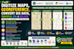
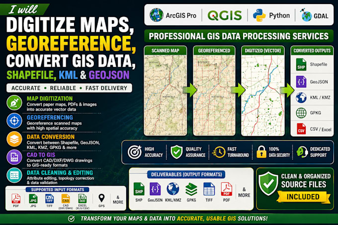
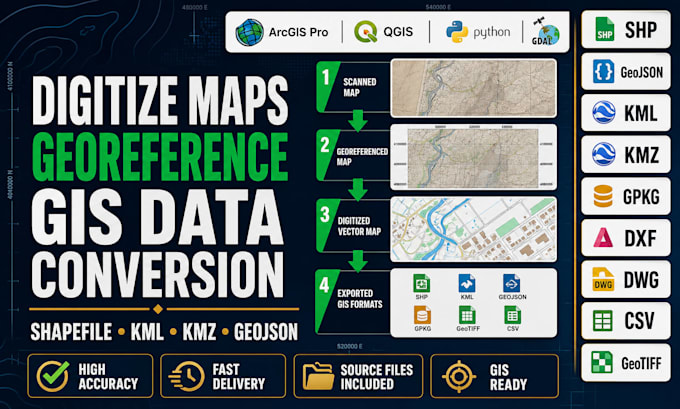
Need to convert, clean, digitize, or georeference your GIS data? I provide professional GIS data processing services using ArcGIS Pro, QGIS, and industry-standard geospatial tools to deliver accurate, organized, and analysis-ready datasets.
Whether you have scanned maps, CAD drawings, PDFs, satellite imagery, GPS coordinates, or existing GIS files, I can convert them into professional GIS formats while maintaining spatial accuracy and data integrity.
Services I Offer:
Why Choose Me?
I deliver GIS-ready files in SHP, GeoJSON, KML, KMZ, GPKG, DXF, DWG, GeoTIFF, CSV, Excel, and other requested formats.
Please contact me before placing an order so we can review your project and recommend the most suitable package.
Professional GIS Specialist and Geospatial Analyst
Languages
Can you digitize scanned maps or PDFs?
Yes. I can convert paper maps, PDFs, and images into accurate GIS vector data.
Can you georeference historical or scanned maps?
Yes. I use ArcGIS Pro and QGIS to accurately georeference maps using the appropriate coordinate system.
Which GIS formats do you support?
I work with SHP, GeoJSON, KML, KMZ, GPKG, DXF, DWG, GeoTIFF, CSV, Excel, and more.
Can you convert CAD files into GIS formats?
Yes. I can transform CAD drawings into GIS-ready datasets.
Can you fix topology or attribute errors?
Yes. I can clean, validate, and correct geometry and attribute issues to improve data quality.
Will my data remain confidential?
Absolutely. All files and project information are handled securely and kept confidential.
Can you process large GIS datasets?
Yes. I can work with both small and large datasets while maintaining accuracy.
Do you provide editable source files?
Yes. Source files are included according to the package you select.