Browse categories
Explore
Fiverr Pro
English
$
USD
India
System Engineer
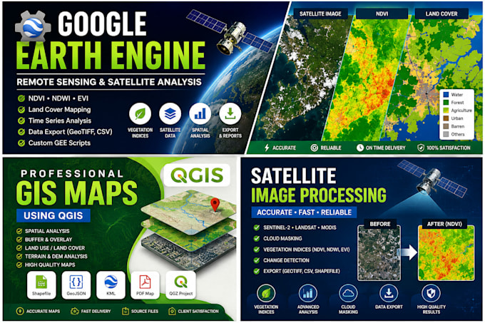
I will develop custom Google Earth Engine (GEE) solutions for satellite imagery analysis, remote sensing, and geospatial applications. I create scripts for NDVI, NDWI, EVI, land cover mapping, time-series analysis, cloud masking, data visualization, and GeoTIFF/CSV exports tailored to your project needs.
What information do you need to start?
Please provide your project requirements, Area of Interest (AOI) in GeoJSON, KML, Shapefile, or coordinates, preferred satellite dataset (if any), date range, and expected deliverables.
Which satellite datasets do you support?
I work with Sentinel-1, Sentinel-2, Landsat, MODIS, and other publicly available satellite datasets supported by Google Earth Engine.
Which vegetation indices can you calculate?
I can calculate NDVI, NDWI, EVI, NDMI, SAVI, GNDVI, MSI, and other custom indices based on your project requirements.
Can you create custom Google Earth Engine scripts?
Yes. I develop custom Google Earth Engine scripts for agriculture, environmental monitoring, land cover classification, change detection, time-series analysis, and other geospatial applications.
What deliverables will I receive?
Depending on your package, you will receive Google Earth Engine source code, processed satellite outputs, GeoTIFF or CSV files, maps, documentation, and technical support.
Do you provide support after delivery?
Yes. I provide post-delivery support according to your selected package and will assist with revisions or clarification if needed.
