Browse categories
Explore
Fiverr Pro
English
$
USD



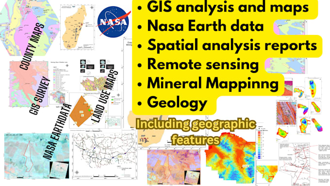
I am an Experinced GIS specialist with 8+ years of experience in mineral exploration and geospatial analysis. I deliver accurate, professional outputs for mining, environmental, and research projects.
What I offer:
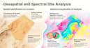
️ Satellite Image Processing ENVI | Land cover classification | Change detection | Lithological & alteration mapping
️ Remote Sensing for Mining & Geology Geological & structural mapping | Hydrothermal alteration zones | Lineament extraction | Drill data integration
️ GIS Mapping & Spatial Analysis Topographic & geological maps | Vector/raster analysis | DEM & 3D terrain | Shapefile & GeoPackage outputs
Software: QGIS | ArcGIS | Google Earth Engine | ENVI / ERDAS
Data: Sentinel-2 | Landsat | ASTER | SRTM | Custom client data
My field-related background and project experience will enable me to deliver fully satisfactory work for you.
Simple is the best
Languages
Do I need to provide satellite imagery or data?
Not always. I can source free Sentinel-2, Landsat, or SRTM data for your area of interest. If you need commercial imagery (WorldView, Planet), please provide it or let me know and we can discuss options.
What file formats will I receive?
Raster outputs as GeoTIFF, vector data as Shapefile or GeoPackage, and maps as high-resolution PDF and PNG. I can adjust formats to match your requirements.
Can you work with my existing GIS project or shapefiles?
A: Yes. Just share your files before ordering and I will work within your existing data structure and coordinate system.
Can you do alteration mapping for mineral exploration?
Yes — this is a core specialty. I can map iron oxide, clay, and silica alteration zones using ASTER or Sentinel-2 data, directly useful for exploration targeting.
Do you have experience with US-based GIS projects?
Yes. I have completed multiple GIS projects across the United States, including county-level mapping, administrative boundary digitizing, land use analysis, and spatial data compilation. I am familiar with US coordinate systems (NAD83, State Plane), standard data sources like TIGER/Line, USGS, and N